A landslide along the Kitimat River has forced the municipality to stop pumping from the muddy river and issue a notice to residents to conserve water.
The landslide, which happened sometime between Tuesday and Wednesday morning, occurred in a remote spot on the river inaccessible by road.
Locals noticed something was wrong when the river turned a muddy brown on Wednesday morning, sparking rumours on social media that construction work on a pipeline for the LNG Canada project might have caused a landslide.
Pipeline construction company Coastal GasLink spokesperson Natasha Westover said Thursday a landslide had occurred, but that it wasn’t related to the company’s construction activities.
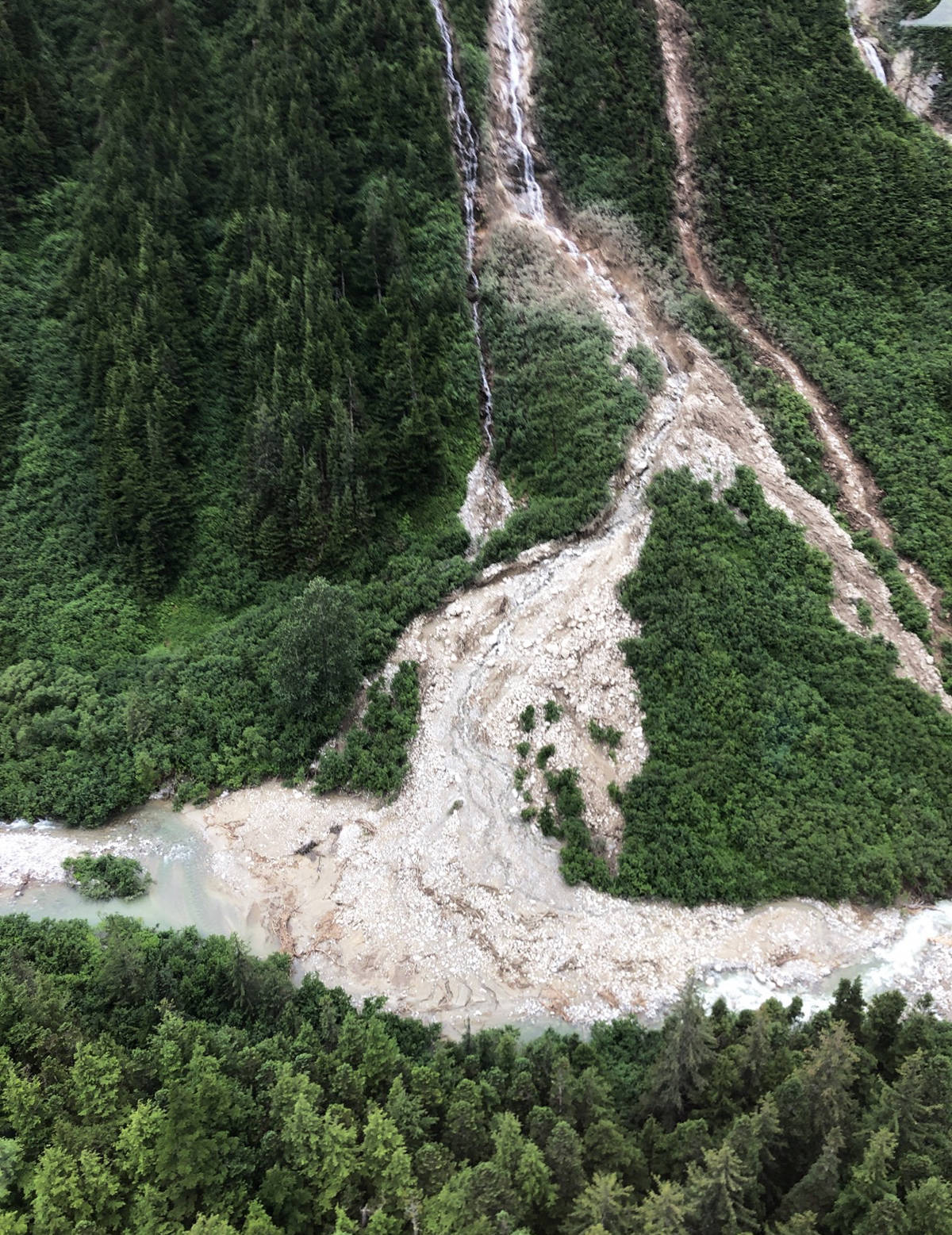
“A chopper was taken up the river to confirm and we found the location where a rainstorm caused a landslide,” said Westover.
Coastal GasLink also supplied the Northern Sentinel with photos of the landslide taken from the helicopter.
READ: PNG spends millions to move gas line after washout, landslide
District of Kitimat spokesperson Josh Marsh sent out a notice on Wednesday afternoon via social media appealing to residents to cut down on water use, as the river is the town’s sole water source.
READ: Kitimat sits on top of a thick layer of clay
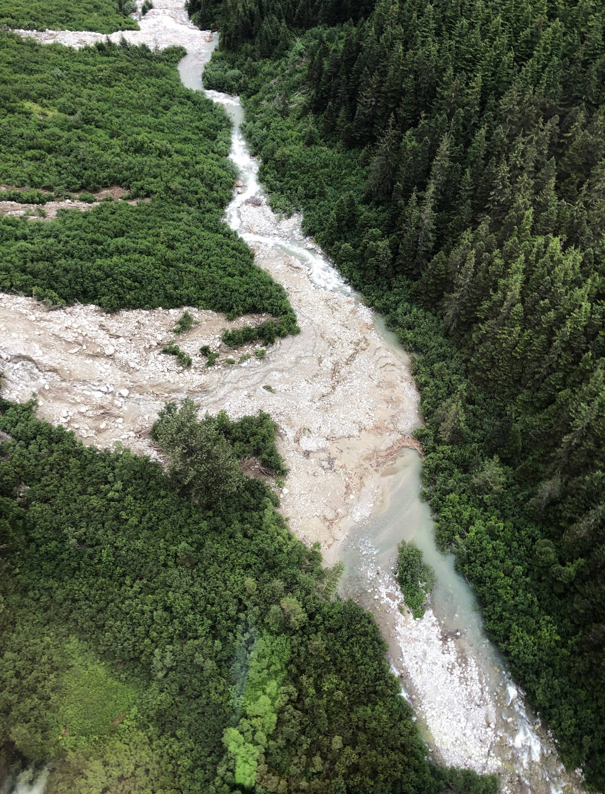
The landslide above the 18 Mile bridge over the Kitimat River. (Photo Coastal GasLink)

The Kitimat River on Wednesday afternoon. (Photo Gerry Leibel)